Flourishing Floodplains is an exciting new collaboration between FMP, FWAG-SW, and the Wildfowl and Wetlands Trust (WWT), in the Severn and Avon Vales. The project is supported by the Green Recovery Challenge Fund and has come about in part through the development of a Gloucestershire Floodplain Meadows Group, which started about 4 years ago. This group is chaired by the FMP but driven by several knowledgeable and eloquent local contacts, most notably from the Gloucestershire Naturalists Society (GNS), who have wandered through the Vale over the past 20 years noting areas of botanical interest and key areas for curlew. Funds from the Flourishing Floodplains project will enable the group to realise an ambition to undertake extensive botanical survey work covering 1,000 ha, whilst simultaneously allowing FMP to add to our growing soil carbon research by collecting 300 soil samples from different grassland types.
Surveying 1,000 ha in one season is a tall order and the project has enabled us to employ a new member of staff to undertake this work. Caroline O’Rourke started in post at the beginning of January and will work with volunteers to try and complete as much botanical survey as possible, whilst developing volunteer skills and confidence. Luckily Caroline has a background in habitat and botanical survey and is one of our FMP Ambassadors.
To gather botanical data that is both easy to collect and useful for farmers, researchers, and others, we are using a method which was successfully trialled in 2021 with Gloucestershire Wildlife Trust (GWT) and Gloucestershire Naturalists Society training and volunteers. The method combines the GWT Habimap survey method, and a more detailed botanical survey involving recording indicator species at 5 stops per field, or if possible, full quadrats with species abundance. We hope this level of detail will enable us to supply farmers with data that will identify areas of Priority Habitat and therefore help with stewardship applications, as well as giving FMP a quantitative overview of grassland quality across a large area.
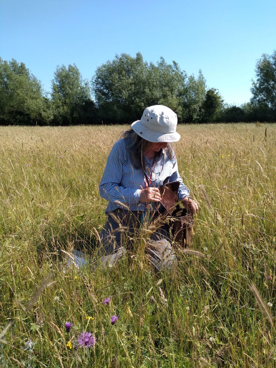
Juliet Bailey from the Gloucestershire Naturalists'
Society testing the survey method (c) Emma Rothero
 Juliet Bailey
The collection of full quadrat data would enable us to assign rough NVCs, and calculate Ellenberg values for soil wetness and fertility, very useful data in the world of ecohydrology. However, this is a lot to ask of novice botanists, so this mix of methods strikes a good balance between coverage and detail in what is a short survey season, racing against the hay cut! It also has the additional benefit of feeding into GWT’s countywide Habimap survey, contributing to a valuable resource of baseline habitat data which will inform land management decision making and the upcoming Nature Recovery Network.
Alongside our botanical data collection, we will be supplementing the soil carbon data we are collecting in the Thames and elsewhere with 300 soil samples collected from the Vale. Soil samples will be collected from ancient meadows and arable sites as in the Thames. We will also be sampling from restored floodplain meadows, however as restoration sites are limited in the Vale, we do not have enough to split this category into two age groups as we have done for the Thames. Instead, samples will be collected from restoration sites of any age, and an additional category of improved grasslands will be added which will help us to compare the carbon storage between different land use types. Our labs are bracing themselves for a soil carbon onslaught this summer!
Three smaller but very important additional elements we are also involved in with are the trial of a community plug planting scheme, working with Ecohab and the National Wildflower Centre, working alongside FWAG and farmers to restore of 20 ha of species-rich floodplain meadow in the Vale, and the development of an arts project with all the partners and the Gloucester Culture Trust.
The whole project is only 18 months long and we are already 6 months in. There is a lot to do.
FWAG will be working hard engaging with farmers – developing contacts, offering events and sessions on different elements, and undertaking pond and meadow restoration works. The WWT on researching the populations of eels and curlews in the area, further pond restoration and creation work and managing the whole project, and a wider network of partners are and will be engaged in the delivery of such an ambitious project.
One of the lovely things about this kind of project is that it encourages relationships that may not otherwise have occurred, for example with new community or arts groups, as well as strengthening existing relationships, like those with the GNS, the WWT, FWAG-SW, and GWT.
It will be exciting to see where the project legacy goes. If there is interest and appetite amongst the Vale farmers for a larger scale, landscape recovery project, if the community groups develop a wider scale plug planting and meadow restoration project, and if our soil carbon data can be used to change policy to promote grasslands as a key element of reaching net zero.
The next 12 months will be very busy for all of us. if you would like to help out with botanical, curlew, pond, or eel surveys please get in touch with the project Engagement Officer, Bev Phillips - Bev.Phillips@wwt.org.uk or if botanical survey specifically, contact Caroline O’Rourke directly at caroline.orourke@open.ac.uk
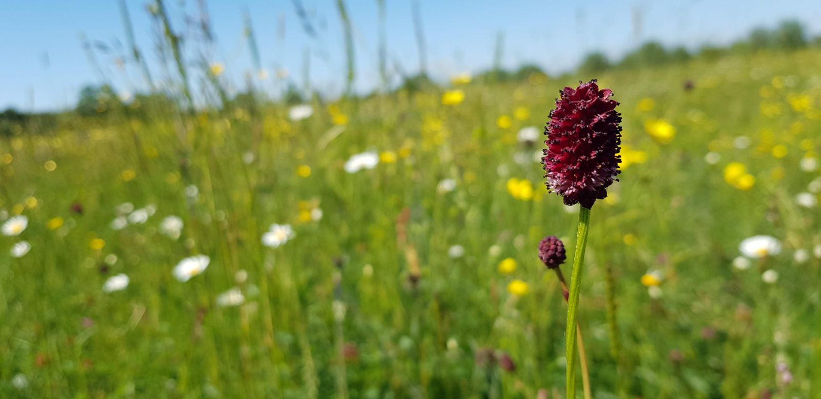
Great burnet, Sanguisorba officinalis – an indicator species of floodplain meadows which the volunteers will be hunting for. (c) Caroline O'Rourke