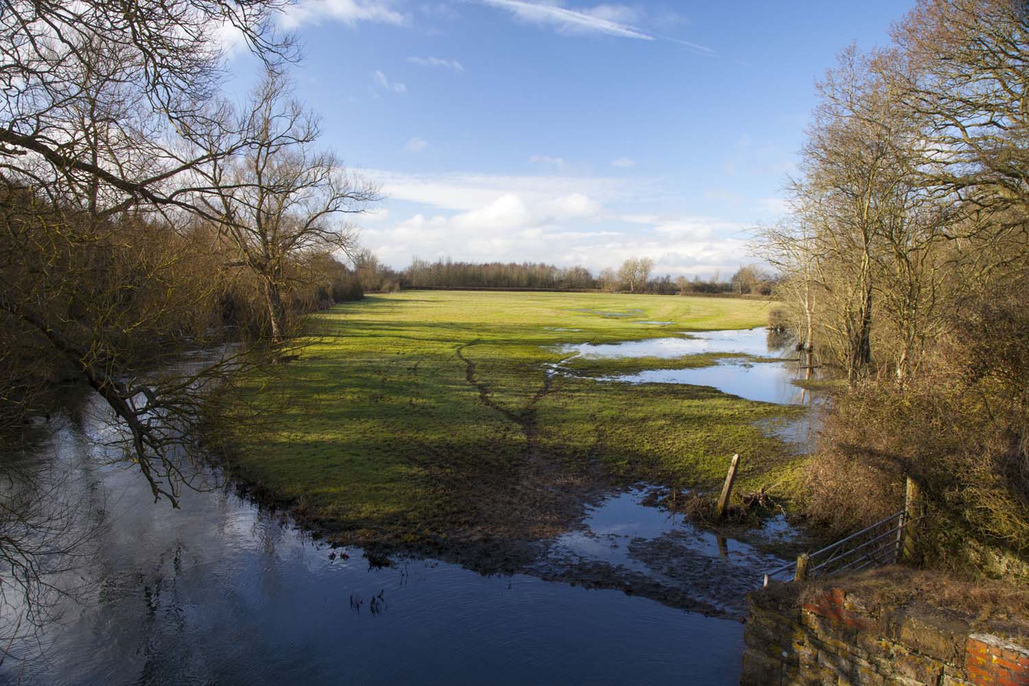
Water levels play a key role in floodplain meadows. This includes both the depth of the water table throughout the year and the frequency and duration of flooding.
Species-rich floodplain meadow plant communities typically occur either in Flood Zone 2 or 3 (land with more than 0.1% chance of flooding from rivers per year), or on land which is kept moist at the surface for much of the year by water seeping from below.
They are generally intolerant of waterlogging during the growing season, to the extent that too much water can be more damaging than too little at this time of year. These grasslands rely on the surface drainage systems created and maintained by farmers which allow water to flow freely back to watercourses following a flood and prevent retention of rainwater on the surface for long periods. Whilst soil-water regimes are a complex subject, a general rule of thumb is that for a site to support a species-rich floodplain meadow community, surface water from rainfall or flooding needs to disappear from most of the surface within 10 days.
A key hydrological feature to measure to inform any potential creation or restoration of species-rich floodplain meadow is the depth of the water table. This varies throughout the year and for different plant communities but is usually between 0.1 and 0.7 m below the surface. Water table depth can be estimated by examining a soil profile for mottling. Mottling is streaks or patches of darker coloured soil which form when soil becomes saturated. The depth at which it first occurs can therefore be used as a rough proxy for water table depth.
A more in-depth understanding of site hydrology can be gained using dipwells. These can be installed relatively cheaply using basic equipment and are used to monitor the elevation of the water table at fixed points within a meadow throughout the year. Find out how you can make and monitor your own dipwells here. Once you have a year's worth of data, use our hydrotool to find out which plant communities could thrive on your land. In-depth technical information on water levels can be found in Chapter 7 of our technical handbook.