We reported about the plans for this project in March 2026, and are now out the other side of the field season with all our data analysis completed and report production in full swing. All the partners: Floodplain Meadows Partnership, Wildlife Trust BCN, River Restoration Centre and the Nene Rivers Trust have been deeply involved in data collection and now analysis.
The summer survey was challenging of course because of the excessive heat, meaning our surveyors worked around the hottest times of the day, starting early and avoiding where possible the very hottest days for survey. The weather also meant that by the time we got to some sites, they had already been cut, as land managers tried to get the best yield and quality of hay in a difficult year.
We collected the following data:
- The historical assessment of floodplain land-use revealed evidence of historic floodplain meadow on 5,497 ha of the Nene & Ise and 636 ha on the Tove.
- We visited 1,016 ha (152 parcels) of floodplain land.
-
From what we surveyed, 66.4 ha are classified as Lowland Meadow Priority Habitat, 80.5 ha Good Quality Semi Improved grassland. 751 ha grassland did not meet either criteria. 58.6 ha was classified as existing wetland or other non-grassland habitats, and 59 ha are data deficient (grasslands that had been cut before we got there).
-
From the 1016 ha (152 parcels) visited, we collected 142 phosphorus and pH samples and recorded 141 soil profiles. We dug 143 pits to check for compaction (spade depth only).
-
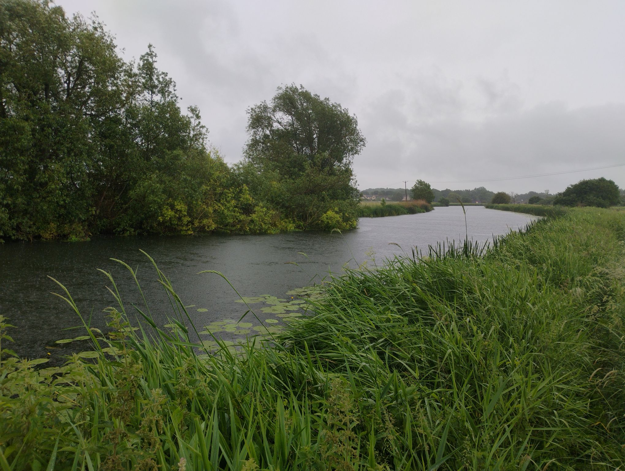
The river morphology and habitat assessment has used over 300 previous River Habitat Survey sites along with some new survey sites to show that much of the River Nene is severely modified due to channel and bank re-sectioning, realignment, and embankments.
A modified section of the river Nene. Josh Robbins
We initially shared the plan with a number of farmer clusters across the three catchments, many of whom were kind enough to grant permission for survey access.
We are now producing 50 individual landowner reports containing information on what the surveyors found at each farm visited, and highlighting restoration potential and funding sources for further activity.
We are starting work on the 20-year strategy for river, meadow and grazing marsh restoration that will help guide landscape scale funding bids to enable delivery. The strategy will propose a vision, highlight the key catchment issues, propose solutions and set objectives for those aspirations. It will share the key maps of the survey findings. We also plan to include a guide on how to make choices at a field or farm level for restoration options based on some key guiding principles. The strategy will include some case studies to highlight some of the decision-making processes suggested.
We will be sharing the draft strategy in the next few months, and seeking comments and feedback.
We are keen to try and bring together potential for river and floodplain restoration in a way that respects historic management and land manager aspirations, as well as being thoughtful about what could be done where, based on existing interest and physical constraints.
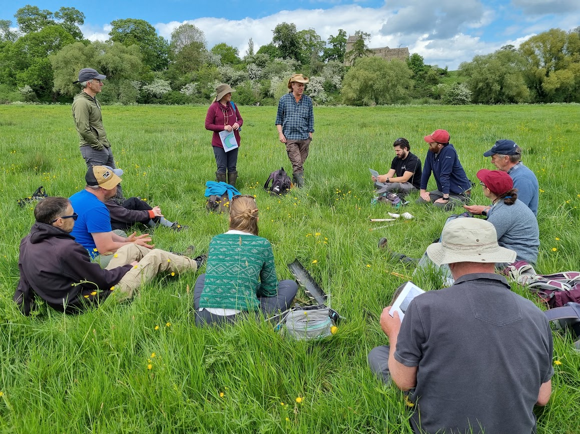
All partners meeting on site in May 2026 to learn about each others’ survey methods, and check we were being as efficient as possible over field survey data collection. As a result, we adjusted our survey plans to make sure we were noting key features across a range of different survey objectives including physical evidence of historic field boundaries, presence of back channels, and presence of key indicators species in floodplain grasslands by river surveyors.