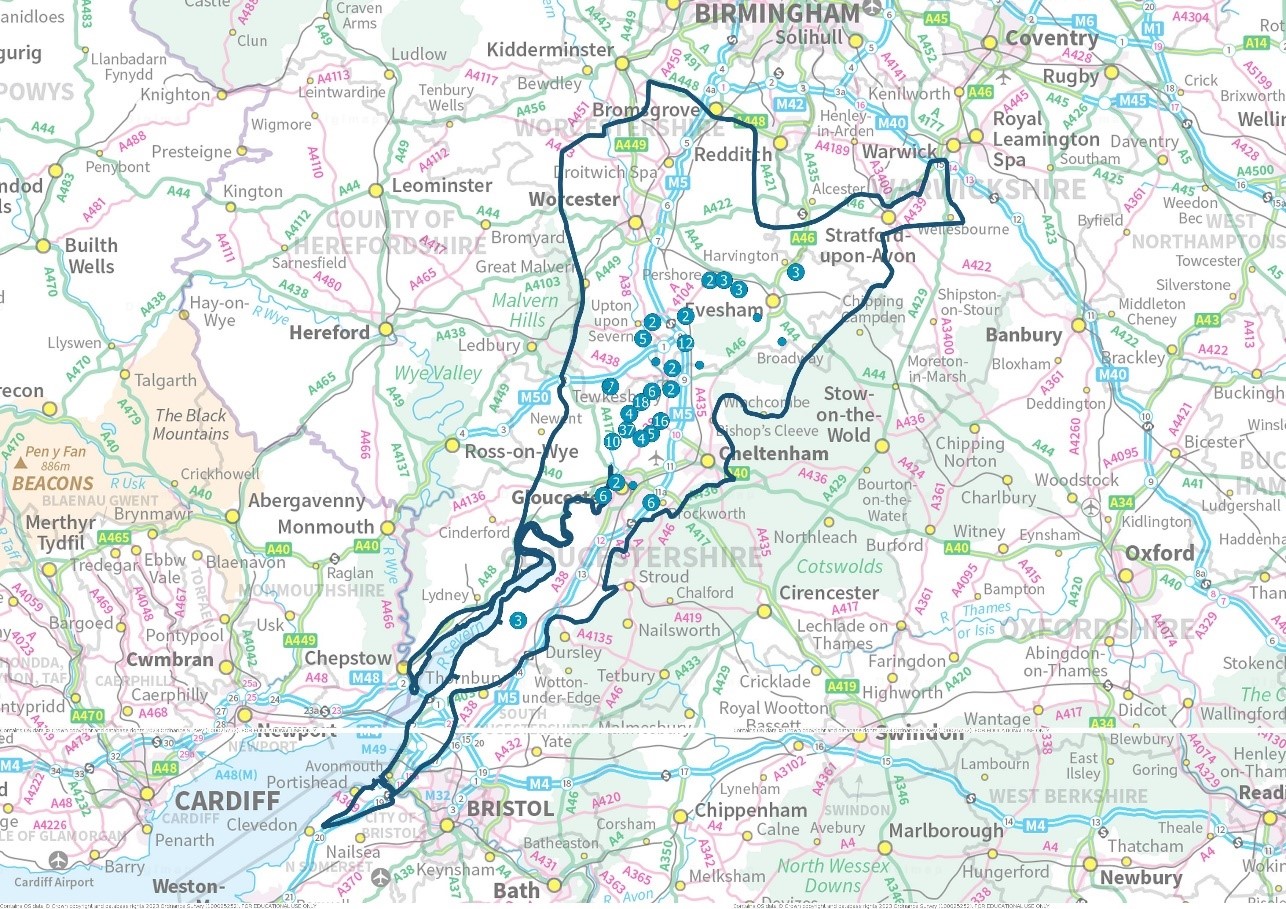
The Severn and Avon Vales in Gloucestershire and Worcestershire once comprised a biodiverse mosaic of floodplain meadows, marshes and small wetlands – but over 88% of those have been lost or ecologically degraded. In 2021, the Flourishing Floodplains project launched to research, promote and kickstart the protection, restoration and reconnection of this precious habitat, working with partners the Wildfowl and Wetlands Trust (WWT), and the Farming and Wildlife Advisory Group Southwest (FWAG).
 Volunteers being trained for botanical survey Summer 2022 in one of the floodplain meadows in the Severn Vale
The project trained 27 ‘citizen scientists’ to undertake botanical surveys of 650 hectares of precious floodplain grasslands, discovering 28 sites with 120 hectares of good-quality, species-rich floodplain meadows not previously recorded, and identifying almost 350 hectares of grasslands suitable for restoration.
We also collected and analysed 300 soil samples from different land use types across 20 sites, along with botanical data and information on land use history, providing additional data for our ongoing research on soil carbon.
 Soil sample collected for bulk density analysis
Volunteers joined researchers surveying 100 ponds for the presence of eels, using environmental-DNA analysis of collected samples to identify traces of these hard-to-find fish, which were positively detected in more than 35% of the ponds surveyed.
We worked with farmers and landowners to share advice on nature-friendly farming methods and to arrange access for habitat surveys and restoration work. The project restored 36 hectares of floodplain meadow habitat at seven sites and restored or created 42 farmland ponds and small wetland features, providing important natural larders for wildlife such as birds, bats and amphibians.
Working with the Countryside and Community Research Institute (CCRI) https://www.ccri.ac.uk/ four farmers were interviewed to produce case studies. These were produced with farmers, for farmers, discussing their different journeys towards more regenerative management of the floodplain. The individual interviews along with the fact sheets can be found below:
Andy and Richard Rummings
These are also available on our YouTube Channel
The project ran an art project working with local groups in Gloucester which produced a lovely display in the Eastgate Shopping Centre https://www.wwt.org.uk/news-and-stories/news/local-youth-groups-inspire-gloucester-city-shoppers-with-flourishing-floodplain-art-installation
The project was funded by the National Lottery Heritage Fund distributed via the Green Recovery Challenge Fund in partnership with Natural England, the Environment Agency, and Forestry Commission, on behalf of the Department for Environment, Food & Rural Affairs (Defra).
- 672 ha of floodplain land has been surveyed and analysed for its botanical value in the project area in 2022. This required 240 hours of fieldwork, covering surveys on 107 different land parcels over 8 weeks in June & July 2022.
- We also collated data from surveys carried out in 2020 and 2021, amounting to a total coverage of 1022 ha of land in the Vale, covering 165 different fields.
- We worked with volunteers to collect the data visiting sites between Gloucester and Upton-on-Severn on the Severn and Tewkesbury and Bredon on the River Avon using two different survey methods and a phone app-based survey system.
- Of the 1022 ha, over half are considered of Priority Habitat quality, (compared to 119 ha known about before the project started). We have identified of 120 ha unmapped existing species-rich meadows for inclusion in Natural England’s (NE) Priority Habitat Inventory (PHI).
- Additionally, we identified almost 350 ha of poorer quality grassland which could be restored to more species-rich plant communities.
 Distribution of species rich floodplain meadows in the Severn Vale
The outputs will be used to work with landowners and managers when considering options for land management and will feed into future landscape scale restoration projects.
